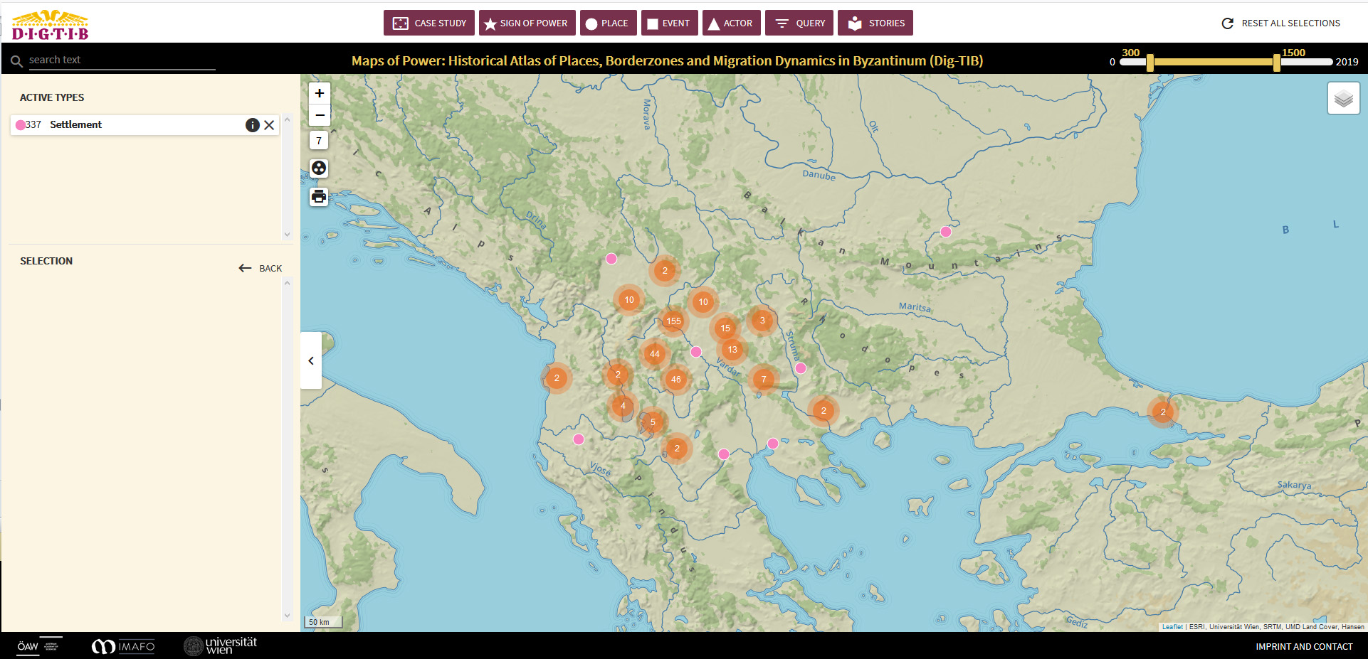
Screenshot of the TIB Mapviewer
The Digital Tabula Imperii Byzantini (Dig-TIB) has put its Web Application, the TIB Mapviewer, online!
It is entitled Maps of Power: Historical Atlas of Places, Borderzones and Migration Dynamics in Byzantium.
Please feel free to browse and test it! It features data from the TIB Balkans (Mihailo Popović, Veronika Polloczek, Bernhard Koschicek, Vratislav Zervan) deriving from volume TIB 16 and TIB sub-projects, is work in progress and is regularly augmented with new datasets and source based interpretations as well as visualisations (e. g. map layers, StoryMaps, photographs from our areas of research, historic maps, GIS data etc.) from the TIB Balkans.
If you have any questions or comments, please feel free to contact Mihailo Popovic.
Maps of Power: Historical Atlas of Places, Borderzones and Migration Dynamics in Byzantium is an integral part of the Long Tern Project Tabula Imperii Byzantini of the Austrian Academy of Sciences and of its Maps of Power initiative.
You might also be interested in the related article Signs and Maps of Power in Medieval Europe. A Case Study on Byzantine Macedonia (13th/14th Centuries) by Mihailo Popovic and Vratislav Zervan, published in MEMO 2 (2018).